
Analysis
- Default city condition
We started modeling based on cities with 20km in the city center and 40km in each outside. The reason for assuming 20km is because it is similar to the average size of major cities in South Korea. The reason why the outside was set at 40km is doubling the size of the city center and it clarifies the effect of city’s suburb on the urban heat island phenomenon.
1. x-direction wind


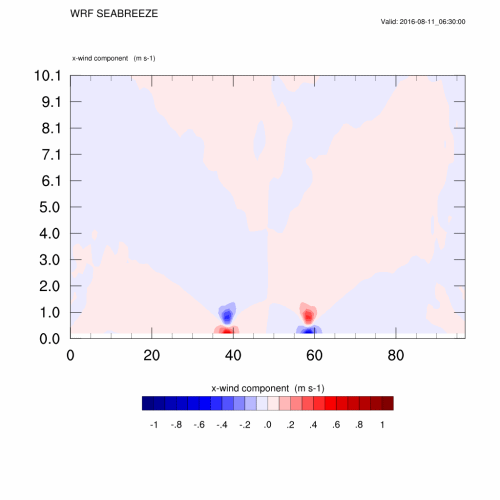
At around KST 15:00 on August 11, winds from the suburbs of the city is formed and begin to grow stronger. At around KST 3:00 on August 12, wind is blowing from the city center to the outside, and at around KST 15:00 on August 12, a strong x-wind is formed blowing from outside to center of city. Compared to KST 15:00 on August 11, this huge changes can be presumed to be caused by the heat island phenomenon.
2. z-direction wind


Around KST 15:00 on August 11 weak rising and falling currents are formed near the city, and the trend is gradually declining as time goes by. Around KST 15:00 on August 12 the heat island phenomenon caused a stronger upsurge in the city center than the previous day, and a stronger downsurge in the outside of the city.
3. Temperature


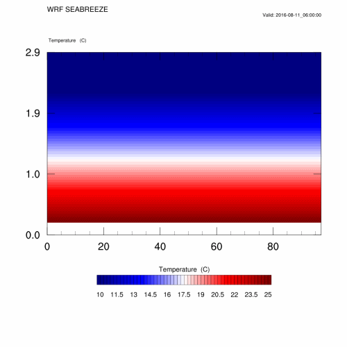
It has become clear that the temperature in the city center is higher overall than in the suburbs, and the temperature in the center is especially high during the daytime. Comparing KST 15:00 on August 11 with KST 15:00 on August 12 shows that the heat island phenomenon is even more serious.

The left graph shows that the T2m(black line) and bottom level(red line) temperature. In most areas, you can see that the temperature of the botom is higher than the 2m level. The max and min temperature of T2m is 30.5306 and 14.4677. The max and min temperature of bottom level temperature is 29.7817 and 17.4135.